
Know Your Terrain From Top to Bottom
Understanding your property’s slope enables you to design, plan and operate with confidence.
GeoOptic’s Slope Calculation services use detailed elevation data captured through advanced Unmanned Aerial Vehicle (UAV) surveys to calculate slopes quickly and accurately across entire sites. By combining cutting‑edge aerial surveying technology with decades of GIS and engineering expertise, we provide reliable slope data paired with expert analysis that supports confident decision‑making for a wide range of applications.
Why Slope Calculations Matter
Accurate slope analysis can help identify steep or hazardous areas, support regulatory requirements and reporting, and guide infrastructure and land‑use decisions.
With reliable slope data, you can:
- Reduce uncertainty, risk and prevent costly errors
- Identify areas that exceed allowable regulatory limits
- Plan drainage, grading, and erosion control measures
- Support regulatory compliance and reporting
- Optimize land use and design
- Improve site operational safety


Understand Your Property on Another Level
Unlock the full potential of your site with GeoOptic’s advanced aerial surveying and GIS solutions. Our cutting-edge technology and expert analysis provide fast, accurate data to help you make informed decisions with confidence.
How GeoOptic Calculates Slopes
GeoOptic’s site surveys capture high‑resolution elevation data that can be used to calculate slopes quickly and consistently across large areas.
Using precision drone flyovers, detailed imagery is collected in a matter of hours and processed in‑house using advanced GIS analysis. Elevation data is transformed into slope models that clearly show slope percentages, gradients, and terrain variations across the site—providing a complete understanding of site terrain conditions.
Compared to traditional ground‑based methods, drone‑based slope calculations deliver higher data density, faster turnaround times, and more consistent coverage across the entire site.
Applications of Slope Calculations
GeoOptic’s slope calculation services support a wide range of industries and site uses, including:

Aggregates and Mining
Monitor pit and quarry slopes to support safe operations and compliance.

Landfills
Assess side slopes, stability, and operational limits.

Land Development
Evaluate buildable areas, grading requirements, and site constraints.
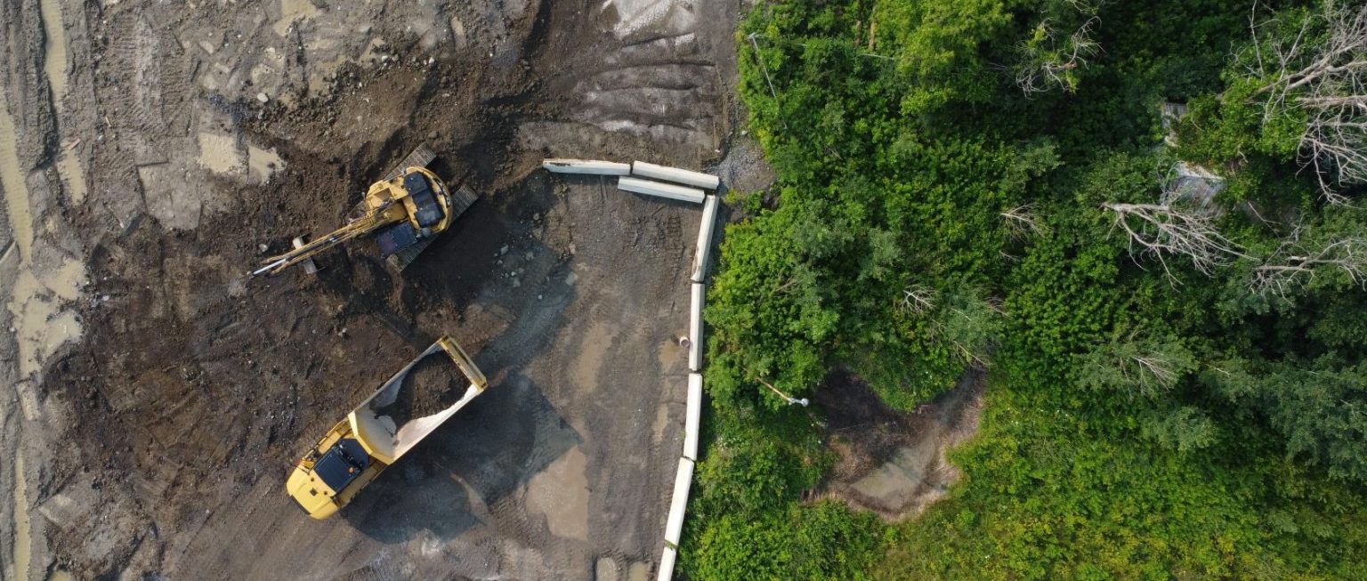
Fill Management
Ensure stockpiles meet safety requirements.

Golf Courses
Support course design, drainage planning, and terrain analysis.

Energy Sector
Plan site infrastructure placement with confidence.

Environmental Sites
Identify erosion risks, contaminant migration and guide site rehabilitation planning.
Slope Calculation Deliverables
GeoOptic provides slope analysis outputs in clear, professional formats that integrate seamlessly with your workflow:
- Slope maps showing percentage, gradient or angular ranges
- GIS‑ready datasets for further analysis
- CAD‑compatible files for design and planning
- Visual slope classifications to highlight areas of concern
All deliverables are tailored to your project requirements and reporting needs.
Why Choose GeoOptic?
GeoOptic brings together advanced UAV surveying and in-house GIS expertise to deliver accurate, expert slope calculations.
- High-resolution elevation data from UAV surveys
- Fast turnaround times – often within hours of data capture
- Higher sampling density than traditional land surveys
- Reducued/removed need for ground access in hazardous areas
- Consistent, repeatable results for ongoing monitoring
Our approach provides the clarity and confidence needed to stay ahead of site-specific challenges and regulatory requirements. Accurate slope data enables informed decision-making, letting you focus on other business-critical tasks.
Ready to Analyze Your Site Slopes?
